
Sat navs seeking Mournes sending traffic to ‘difficult to navigate’ road
There are worries that sat navs are sending traffic heading to the Mournes onto a road which is “difficult to navigate”.
Alliance Councillor Jill Truesdale has said she is growing increasingly concerned about the amount of cars coming from the Dublin Road onto the Tullyree Road in Kilcoo. She believes sat navs may be advising motorists this is the fastest direction to get into the Mournes and to the Trassey Road.
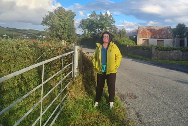

Cllr Truesdale said, “There has been a marked increase in traffic on this narrow, unlit road which does have residential properties dotted from one end to the other.
"In addition, the road is full of undulations and to a driver unfamiliar with the terrain it can be difficult to navigate.
“It is imperative that drivers are advised there are easier and safer routes to arrive at the same destination.”
Cllr Truesdale added: “Kilcoo is a thriving village with a very active Men’s Shed, extended Primary School and new affordable housing developments. Recent speed restrictions have improved the speed through the village however upon leaving the 30mph limit along the Tullyree Road it quickly changes to the national speed limit.
"Drivers must be aware of that and reduce their speed accordingly. Drivers should always drive according to the road conditions.
“I have written to DfI to ask advice on the matter and highlighted the issue of speeding with the PSNI.”
She concluded: “I would also like to give a little shout out to Maginn’s Cornmill in Kilcoo which, under the European Heritage Days on September 13-14, is free to visit.”